सीमाएँ · Borders & frontiers
India's borders: guarding a heritage, building a future
Borders are not only lines on a map. They protect India's freedom, sovereignty and shared existence, and their security depends as much on thriving border villages and aware citizens as on posts and fences.
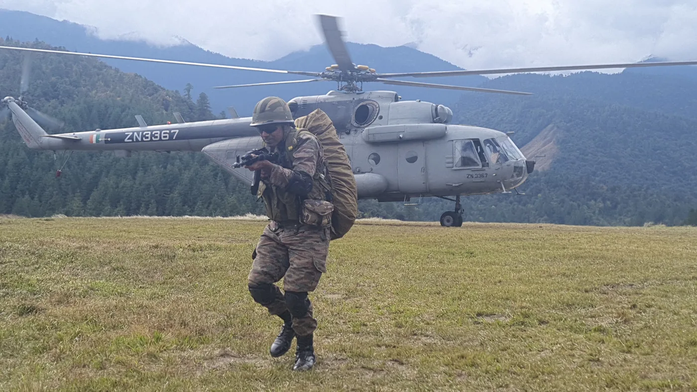
The frontier at a glance
Land figures from the Ministry of Home Affairs; the coastline was re-measured by GIS and high-resolution survey in 2025 (PIB).
- Land border
- 15,106.7 km
- Seven neighbours
- Coastline
- 11,098.81 km
- Earlier official figure: 7,516.6 km
- Border States & UTs
- 18
- Across four frontier regions
- Exclusive Economic Zone
- 2.37 million sq km
- Arabian Sea, Bay of Bengal, Indian Ocean
The seven land borders
Lengths are the Ministry of Home Affairs' traditional official figures; other publications may differ by method.
| Neighbour | Length | Border type | Guarding force | States and UTs | Character |
|---|---|---|---|---|---|
| Bangladesh | 4,096.70 km | International Border | BSF | West Bengal, Assam, Meghalaya, Tripura, Mizoram | India's longest land border, across river deltas, plains and densely populated areas. |
| China | 3,488 km | Line of Actual Control | ITBP and Indian Army | Ladakh, Himachal Pradesh, Uttarakhand, Sikkim, Arunachal Pradesh | High Himalayan terrain with differences over the alignment of the LAC. |
| Pakistan | 3,323 km | LoC, AGPL and International Border | Indian Army (LoC, Siachen); BSF (IB) | Gujarat, Rajasthan, Punjab, Jammu & Kashmir, Ladakh | Marsh in Gujarat, the Thar desert in Rajasthan and mountains in the north. |
| Nepal | 1,751 km | Open border (1950 Treaty) | SSB | Uttarakhand, Uttar Pradesh, Bihar, West Bengal, Sikkim | Deep historical, religious and cultural ties with traditionally open movement. |
| Myanmar | 1,643 km | International Border | Assam Rifles and Indian Army | Arunachal Pradesh, Nagaland, Manipur, Mizoram | Dense forest, hills and communities with ties on both sides. |
| Bhutan | 699 km | International Border | SSB | Sikkim, West Bengal, Assam, Arunachal Pradesh | A relationship built on friendship, cooperation and mutual trust. |
| Afghanistan | 106 km | Boundary in India's official description | — | Ladakh (Gilgit-Baltistan sector) | Listed in India's official border description; the area is currently under Pakistan's control. |
Four frontier regions
Eighteen States and Union Territories, grouped by frontier.
Northern & Himalayan
Ladakh, Jammu & Kashmir, Himachal Pradesh, Uttarakhand
LAC vigilance, Siachen, all-weather tunnels and roads.
Western
Punjab, Rajasthan, Gujarat
Counter-drone belts, surveillance systems and riverine posts.
Eastern & Gangetic
Uttar Pradesh, Bihar, West Bengal
Integrated check posts, anti-smuggling and open-border management.
North-Eastern
Sikkim, Assam, Meghalaya, Tripura, Mizoram, Manipur, Nagaland, Arunachal Pradesh
Myanmar border, the Siliguri Corridor and mountain infrastructure.
The maritime frontier
India's position gives it particular weight in the Indian Ocean Region, carrying its trade, energy supplies and maritime security.
- arrow_rightArabian Sea: the western coast, its ports and energy routes.
- arrow_rightBay of Bengal: the eastern coast and the approaches to Southeast Asia.
- arrow_rightIsland groups: Andaman & Nicobar and Lakshadweep, with strategic reach over key channels.
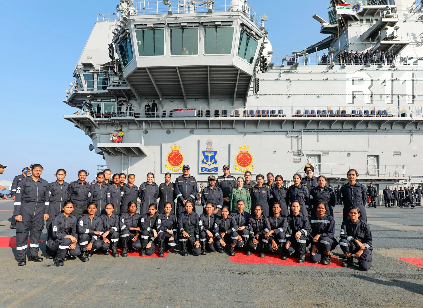
- arrow_rightThe Navy and Coast Guard hold the maritime frontier, with coastal police and port authorities.
Wider challenges of border security
Security now spans land, sea and air, and also cyberspace, space-based surveillance and information.
- Out-migration from frontier areasVillages that empty weaken the first line of presence.
- Illegal infiltrationPorous riverine, forest and desert stretches.
- Terrorism and insurgencyCross-border support to armed groups.
- Encroachment on government landUnauthorised settlement near the border.
- Smuggling and illegal tradeNarcotics, arms, counterfeit currency and cattle.
- Drones and new technologyDrops of narcotics and weapons across the western border.
- Tunnels and hidden routesDetection beneath fenced sectors.
- Citizen awarenessSecurity depends on informed, engaged border residents.
Who guards the borders
Integrated border management depends on these forces working together.
| Force | Responsibility |
|---|---|
| Indian Army | Territorial integrity and external threats, especially on sensitive mountain borders. |
| Border Security Force (BSF) | Pakistan and Bangladesh borders; prevention of cross-border crime. |
| Indo-Tibetan Border Police (ITBP) | Designated stretches of the India–China frontier at extreme altitude. |
| Sashastra Seema Bal (SSB) | Nepal and Bhutan borders; keeping legitimate movement open while stopping illegal activity. |
| Assam Rifles | The North-East and the India–Myanmar frontier. |
| Indian Navy | Maritime interests, sea lines of communication and national security at sea. |
| Indian Coast Guard | Coastal law enforcement, search and rescue and maritime security. |
Developing the frontier
All-weather roads, health, education, power, telecom and livelihoods help people stay and thrive in border villages.
Border Area Development Programme
Meets the special development needs of people in remote, hard-to-reach areas near the international border.
Vibrant Villages Programme
662 villages prioritised in 46 blocks along the northern border in Ladakh, Himachal Pradesh, Uttarakhand, Sikkim and Arunachal Pradesh, with ₹4,800 crore for FY 2022–23 to 2025–26.
Vibrant Villages Programme-II
Extends development to selected villages on other international land borders, including Rajasthan, with ₹6,839 crore to FY 2028–29.
Border villages are not India's last villages. They are its first.
Source: Ministry of Home Affairs programme records, summarised from the Defence Observer border report.